1.5: River Gauges
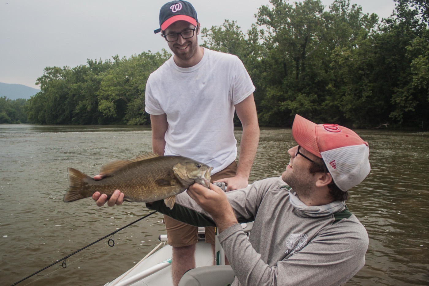
I've kept a fishing log now for 12 years. Its got over a thousand entries and has proven invaluable for me. I use it most to look up data on old patterns. You often hear "it's way colder this year" or "i think everythings a week behind". I'd rather just look it up and know the answer instead.
The reason I started keeping a log was to figure out when to go and float the rivers in my drift boat. I didn't live on the coast yet and worked 9-5 in DC. I spent the weekends doing float trips on the local and not so local rivers. I really had no idea which flows were safe to do. Thats where the idea started. It turned into me being able to plan where to go based off that.
Fast forward to today and I don't really ever fish freshwater. That being said, it is still a blast. The user experience for checking river conditions used to be terrible and honestly, I still don't think it's that great. Because of this, I took a stab at adding river conditions into Big Buoy. A lot of work was done to make sure it does not affect the performance of the application and is a good user experience.
All of the gauges are free for any Big Buoy user. And we are displaying every USGS gauge there is with the exception of ones that aren't operational. They can be saved to your spots. They are also accessible via search.
If you don't fish rivers, it's still a good idea to monitor these. Large rain events bring freshwater which often is dirty into saltwater. This is an easy way to get an idea of whats coming. We've got the gauges available on the website now. They will be released on the mobile app this week. Give it a shot and let us know what you think.